








|
BENSON
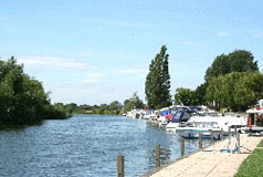
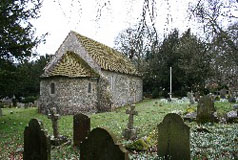
The village's name comes from the Anglo-Saxon Bænesingtun meaning a farmstead of the people of (or a man called) Benesa. The village is reputedly the site of the Battle of Bensington. The village developed on the fertile river silts and gravel just above the surrounding marshy land. The village occupies the site of an ancient British town and there is evidence of human presence dating back to the Palaeolithic period - around 10,000 BC, and there is known to have been occupation during the Roman period. Benson is one of several key sites of the Civil War in South Oxfordshire, lying between the site of the battle of Chalgrove Field (which took place on 18th June 1643) and Wallingford Castle, reputedly the last Royalist stronghold to surrender. In 1870 the present Benson Lock was built although previously a flashlock had been built in 1746, and a poundlock in 1788. The parish church is is the Church of St. Helens parts of which dates from the 12th century, although the interior was rebuilt in the 1970s. One of Benson's claims to fame is the air raid on "an airfield near the village whose clock had two elevens" promised by the Nazi broadcaster Lord Haw Haw. The clock in the tower of St. Helens had the nine (IX) painted, in error, upside down as XI and hence the clock had two elevens. RAF Benson was duly bombed! For the history and full information about St. Helen's Church click here. RAF Benson lies to the east of the village between Benson and the village of Ewelme. It is a front line support helicopter base working within the Joint Helicopter Command (JHC) and is home to Puma helicopters of 33 Squadron, Merlin HC3 helicopters of 28 (AC) Squadron and the Tutor T1 Aircraft of Oxford University Air Squadron. There is also the Helicopter Support Squadron, also Thames Valley Police helicopters of the Chiltern Air Support Unit. The temperature at Benson is frequently mentioned in winter weather forecasts as the village is in a frost-pocket and sometimes records the lowest night-time temperatures in the UK. Benson is about a mile and a half north-east of Wallingford and about half way between Reading and Oxford on the A4074. |
|


